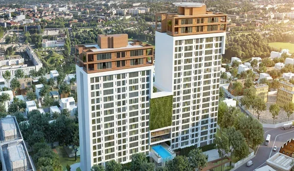
Borivali to South Mumbai Distance
Featured Image of Borivali to South Mumbai Distance


Borivali to South Mumbai distance is about 34 km by train to Churchgate and 38 to 42 km by road. A slow local covers the rail trip in about 64 to 66 minutes, with 20 stops. By car, you need about an hour in light traffic and up to two hours at peak time. Your exact time depends on your start point and the part of South Mumbai you need.

This guide breaks down every route, from the Western Railway line to the Coastal Road and the metro. It also shows how upcoming road links will cut this trip over the next few years.
Borivali to South Mumbai Distance at a Glance


Destination Rail Distance Road Distance Usual Travel Time
Churchgate ~34 km ~38 to 40 km 64 to 66 min by slow local
Marine Drive ~33 km to Marine Lines ~38 to 40 km 60 to 120 min by road
Nariman Point Via Churchgate ~39 to 41 km 60 to 120 min by road
Gateway of India and Colaba Via Churchgate ~41 to 43 km 70 to 130 min by road
BKC (on the way) Via Bandra ~22 km 40 to 75 min by road

Road figures are approximate and change with your start point, toll roads and diversions. Rail figures follow the Western Railway local route.

Borivali to Churchgate by Local Train


The Western Railway local is still the most dependable way to reach South Mumbai from Borivali. The rail distance to Churchgate is about 34 km. A slow local stops at 20 stations in between, including Andheri, Bandra, Dadar and Mumbai Central.

A slow train takes about 64 to 66 minutes from end to end. Fast locals halt at fewer stations, such as Andheri, Bandra and Dadar, so they save time. Many trains start at Borivali, which means you can often find a seat on the way south.

AC locals also run on this route if you want a cooler ride at a higher fare. If your office is near Fort, get off at Churchgate and take a short taxi or walk.

Borivali to South Mumbai by Road


The main road route runs down the Western Express Highway to Bandra. From there, you take the Bandra-Worli Sea Link and then the Coastal Road toward Marine Drive. This route covers roughly 38 to 42 km, based on your end point in South Mumbai.

The Coastal Road has changed the southern half of this trip. Its first phase, opened in March 2024, links Marine Lines with the Worli end of the Sea Link. It cut that stretch from 35 to 45 minutes at peak time to under 10 minutes.

The northern half is still the slow part. The Western Express Highway gets crowded near Malad, Goregaon, Jogeshwari and Andheri during office hours. In light traffic, you can reach Nariman Point in about an hour. At peak time, plan for 90 minutes to two hours.

Borivali to South Mumbai by Metro


The metro now gives you a train-free option to reach South Mumbai, though it needs two changes. From Borivali East, take Metro Line 7 south to Gundavali in Andheri East. Switch to Line 1 and ride a short distance to Marol Naka.

At Marol Naka, change to Metro Line 3, the Aqua Line, which runs fully underground. This line covers 33.5 km from Aarey JVLR to Cuffe Parade, with stops at Churchgate and Hutatma Chowk. It opened end to end in October 2025.

From Borivali West, Metro Line 2A takes you south along Link Road to Andheri West. The full metro trip takes around 90 minutes, which makes it a good monsoon choice.

Which Route Should You Choose?


Your choice depends on the time of day and where you need to go in South Mumbai.

  • Office hours to Churchgate or Fort: Take a fast local, which beats road traffic every time.
  • Late evening or weekends: Drive via the Sea Link and Coastal Road for a quick, easy trip.
  • Monsoon days: The metro avoids flooded roads and track delays on the local line.
  • BKC office: Drive down the Western Express Highway or use the metro via Andheri.

Upcoming Links That Will Cut the Trip


Two coastal links will change the road trip from Borivali over the next few years. The Bandra-Versova Sea Link, about 9.5 km long, is under construction. A coastal road extension north toward Dahisar and Bhayandar is also planned. Union Minister Piyush Goyal has set a December 2028 target for it.
Once these open, you can drive from the western suburbs to Marine Drive mostly on coastal roads. That should move a large share of traffic off the Western Express Highway.

Living in Borivali East With Easy South Mumbai Access


Borivali East gives you two strong routes to South Mumbai from one address. The Western Express Highway runs right along it. Metro Line 7 serves it at National Park, Devipada and Magathane. Borivali station, with its long list of trains starting there, sits a short drive away.

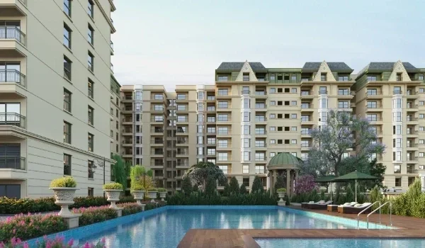
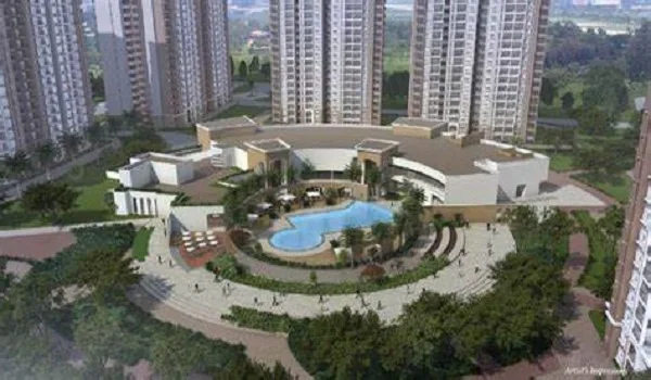
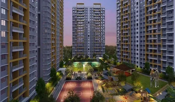
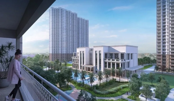
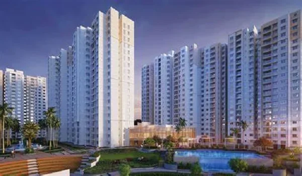
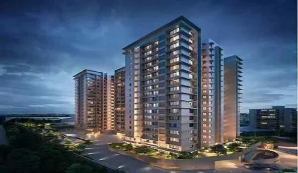
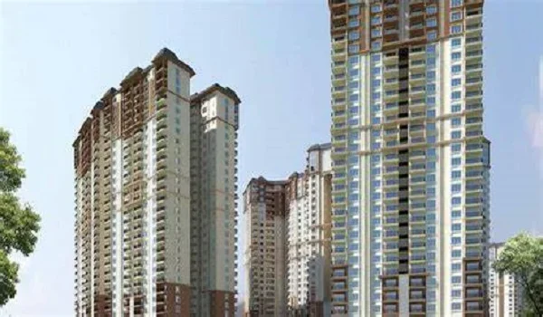
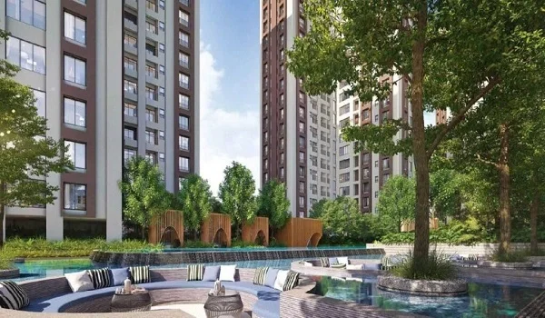
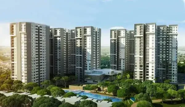
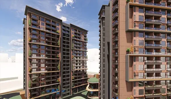
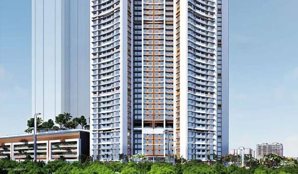
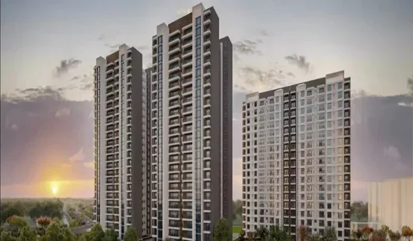
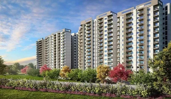
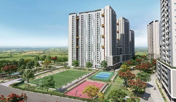
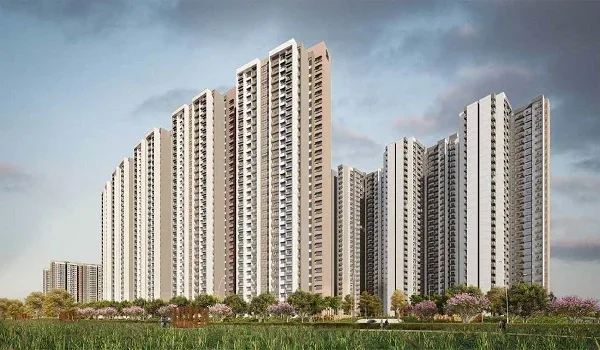
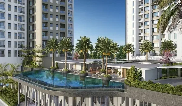
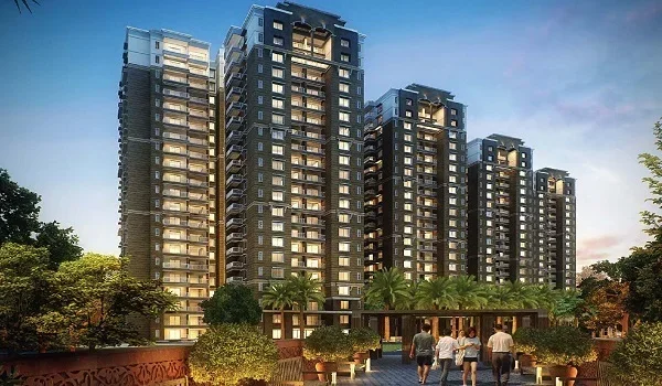
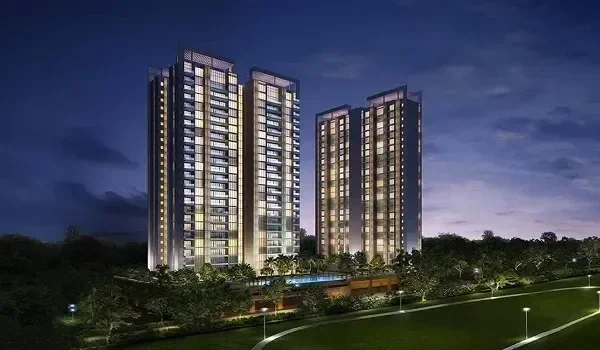
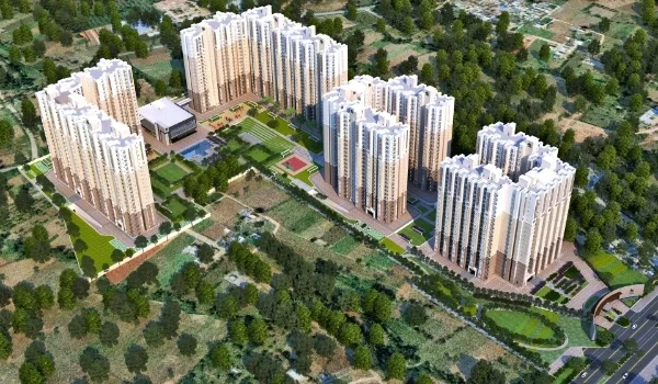
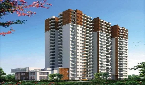
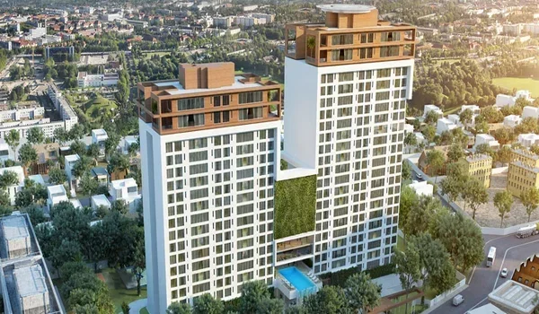
Prestige Grove Park by Prestige Group is a pre-launch project planned in this pocket of Borivali East. It sits near the Western Express Highway and Sanjay Gandhi National Park. Borivali station is about 2 to 3 km away. The nearest metro station is about 5 to 10 minutes away.

Residents get a highway start toward the Sea Link and Coastal Road, plus quick rail and metro access. BKC is about 22 km away and Andheri about 12 km, so many office trips stay short.

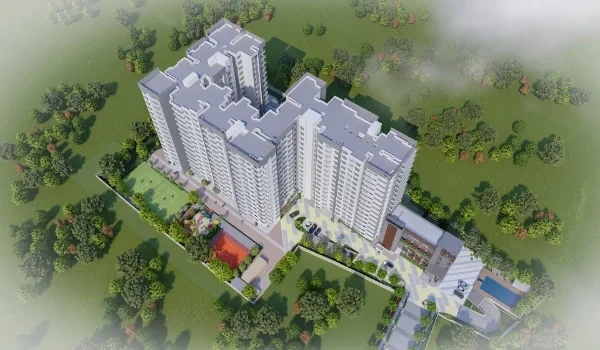
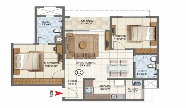
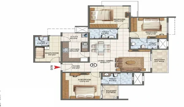
The project plans six towers of G+45 to G+50 floors on about 8 acres, with around 1,500 homes. Homes range from a 750 sq ft 2 BHK to a 1,350 sq ft 3 BHK. Prices start near ₹2.55 crore. MahaRERA registration is in process, with launch planned for March 2027 and handover targeted for December 2031. For every route from the project, read our Prestige Grove Park connectivity guide.

FAQs


1. What is the distance from Borivali to South Mumbai?

Borivali to South Mumbai is about 34 km by rail to Churchgate. By road, it is about 38 to 42 km, based on whether you head to Marine Drive or Colaba. The road route runs via the Western Express Highway, Sea Link and Coastal Road.

2. How long does it take to reach Churchgate from Borivali?

A slow local takes about 64 to 66 minutes from Borivali to Churchgate. Fast locals skip many stations, so they take less time. By road, plan for about an hour in light traffic and up to two hours at peak time.

3. What is the best way to travel from Borivali to Nariman Point?

During office hours, a fast local to Churchgate is the quickest option. Nariman Point is a short taxi ride from Churchgate station. In the late evening, driving via the Sea Link and Coastal Road works well.

4. Can I travel from Borivali to South Mumbai by metro?

Yes, you can travel with two changes. Take Line 7 to Gundavali, Line 1 to Marol Naka, then Line 3 to Churchgate or Cuffe Parade. From Borivali West, start on Line 2A instead.

5. How far is BKC from Borivali?

BKC is about 22 km from Borivali by road via the Western Express Highway. The drive takes about 40 minutes in light traffic and longer during peak hours. You can also take a local train to Bandra and a short ride onward.
6. How far is Prestige Grove Park from South Mumbai?

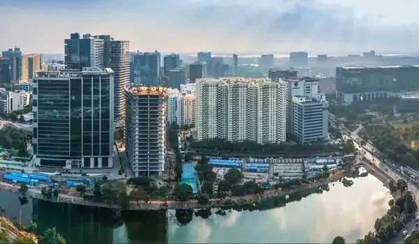
Prestige Grove Park sits in Borivali East, about 38 to 42 km from South Mumbai by road. Borivali station is about 2 to 3 km away, which gives you a direct local train to Churchgate. The nearest metro station is about 5 to 10 minutes from the site.

Prestige Grove Park Blog


Enquiry
Enquire Now