Which Part of Mumbai's Western Suburbs Is Borivali?
Featured Image of Which Part of Mumbai's Western Suburbs Is Borivali?


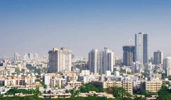
Borivali sits in the northern part of Mumbai's western suburbs, between Kandivali and Dahisar. Sanjay Gandhi National Park forms its eastern edge, while the Gorai creek lies to its west. It falls within the Mumbai Suburban district and lies near the city's northern limit on the Western Railway. Borivali station is the last city-limit stop for mail and express trains before they leave Mumbai.

Location Detail Borivali
Zone Northern western suburbs of Mumbai
South Kandivali
North Dahisar
East Sanjay Gandhi National Park
West Gorai creek, with Gorai and Manori beyond
District Mumbai Suburban
Railway line Western Railway
PIN codes 400091, 400092, 400066 and 400103
Coordinates About 19.23°N, 72.86°E

Where Exactly Is Borivali on the Mumbai Map?


Borivali lies in the north-west of Mumbai, on Salsette Island, like the rest of the suburbs. If you ride north from Bandra by train, you pass Andheri, Goregaon, Malad and Kandivali first.

Beyond Borivali, the line continues to Dahisar, the last station within Mumbai city limits. After Dahisar, the train line crosses into Mira-Bhayandar and the wider Mumbai region. So Borivali marks the start of Mumbai's northern edge on the western side.

How Is Borivali Divided?


The Western Railway line splits Borivali into two halves, each with its own feel.

  • Borivali West stretches from the station toward Gorai, IC Colony and the creek.
  • Borivali East stretches from the station toward the Western Express Highway and the national park.
  • Smaller pockets like Eksar, Shimpoli and Magathane sit on both sides of the line.

Long ago, the area was a group of small villages like Eksar, Poisar and Shimpoli. They sat between two rivers before the city grew around them.

How Far Is Borivali From Key Mumbai Areas?


Since it sits in the north, central Mumbai is some way off. Still, good trains and roads keep travel easy.

From Borivali to Approx. Distance Typical Travel
Kandivali About 3 km One station by local train
Malad About 9 km About 8 minutes by train
Goregaon About 13 km About 12 minutes by train
Andheri About 17 km About 20 minutes by train
Mumbai Airport About 21 km 35 to 50 minutes by road
Bandra Kurla Complex About 25 km 45 to 60 minutes by road
Thane About 23 km by road 60 to 90 minutes now, about 15 minutes via the future tunnel
Churchgate About 34 km 50 to 60 minutes by fast train

Distances and times are approximate.

Which Suburbs Surround Borivali?


Its neighbours shape its feel and its prices, so it helps to see them side by side.

Neighbour Direction What It Offers
Kandivali South Slightly lower prices and a busier, younger feel
Dahisar North More affordable homes at the city's northern edge
Gorai and Manori West Beaches, resorts and the Global Vipassana Pagoda
Sanjay Gandhi National Park East Forest, lakes, caves and wildlife
Mira-Bhayandar Further north Fast-growing suburbs beyond city limits

This mix of town, coast and forest is rare in Mumbai. It gives the area a calmer feel than suburbs further south, while it still stays inside city limits. Few other places let you live near a beach and a forest at the same time.

Why Does Borivali's Location Matter?


Its spot on the map gives it some rare strengths. It sits where the city, the national park and the fast-growing north all meet.

  • Its station is a terminal, so many local trains start here.
  • It sits next to Sanjay Gandhi National Park, one of the world's most visited parks within a city.
  • It will host one end of the Thane-Borivali Twin Tunnel, linking west and east.
  • It sits close to Metro Line 9, which now runs toward Mira-Bhayandar.

These strengths make it a natural hub for the north of Mumbai. As the city grows north, its central spot in that belt will count for even more.

What Do People Mean by the Western Suburbs?


Mumbai splits into the island city in the south and the suburbs to the north. The suburbs then split again into western and eastern halves.

The western suburbs run along the Western Railway, from Bandra up to Dahisar. The eastern suburbs run along the Central Railway line, through places like Kurla, Ghatkopar and Mulund. So when people say Borivali is in the western suburbs, they mean it sits on the western line.

Within the western suburbs, people often talk about three belts. The south belt runs from Bandra to Andheri, and the middle belt covers Goregaon and Malad. The north belt covers Kandivali, Borivali and Dahisar.

How Is Borivali Different From Suburbs Further South?


Life here feels quite different from busy suburbs like Andheri or Bandra. The pace is slower, and green space is far easier to find.

  • Homes here cost less than in Andheri or Bandra, though more than in Dahisar.
  • The national park gives cleaner air and cooler mornings than most of the city.
  • Trains start at Borivali, so the daily ride often feels less crowded at the start.
  • Streets feel more like a settled neighbourhood than a business district.

For many families, this balance of calm and access is the main reason to pick Borivali. It lets them enjoy a slower pace at home while still reaching work and family across the city.

How Do You Get Around Within Borivali?


Getting around inside Borivali is simple, since most trips are short and roads link every pocket. Autos are the most common way to move between the station, the markets and homes.

BEST buses run along SV Road, Link Road and the highway, linking most pockets with the station. Metro Line 2A and Line 7 stations make it easy to cross into nearby suburbs. Many people also walk to the station or the local markets, most of all on the west side.

Is Borivali Part of Mumbai City or the Suburbs?


Borivali is part of Mumbai's suburbs, not the island city in the south. It falls in the Mumbai Suburban district, and the city's civic body, BMC, runs it.

That means people here get the same city services, trains and roads as the rest of Mumbai. It also means homes here carry a Mumbai address, which helps when you sell.

Homes in Mumbai's Northern Western Suburbs


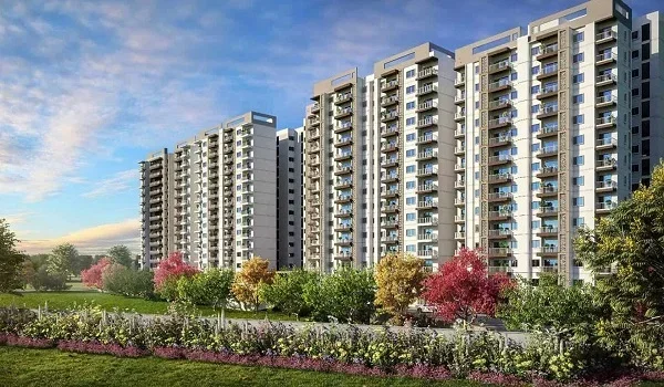
Its location makes it a top choice for families who want a Mumbai home with green space. New projects are adding modern homes near the national park.

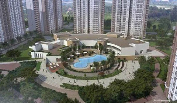
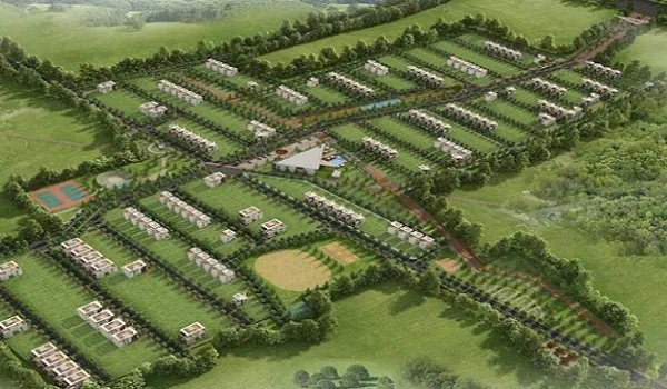
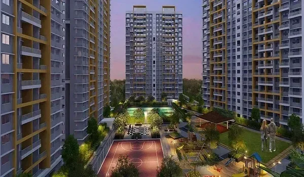
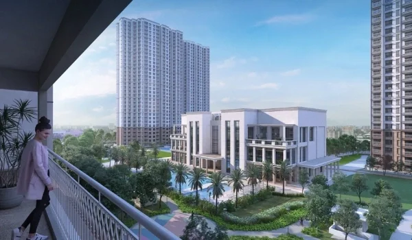
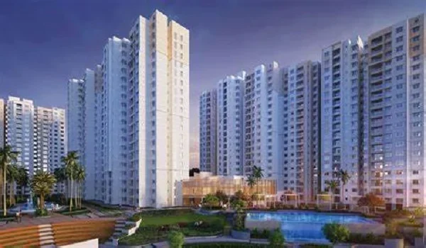
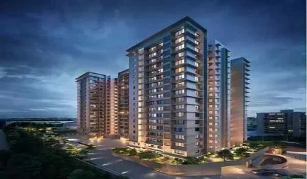
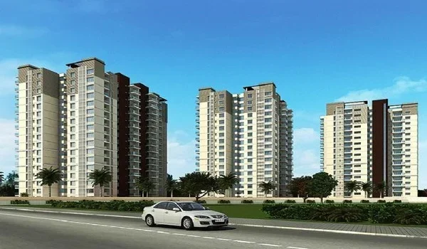
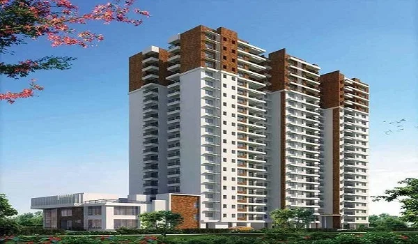
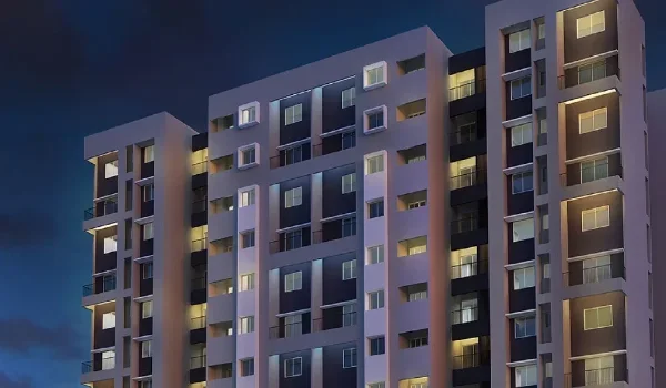
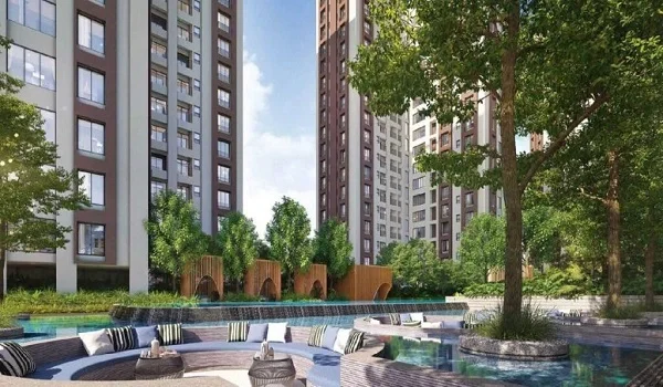
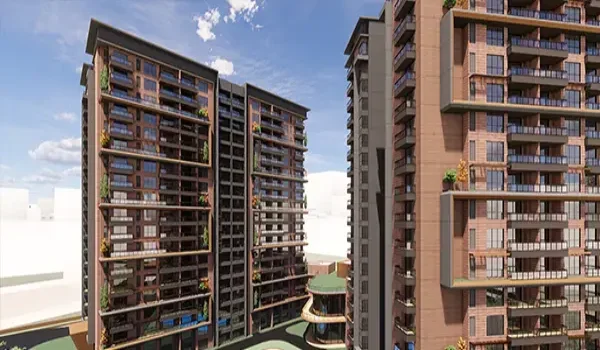
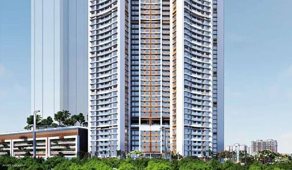
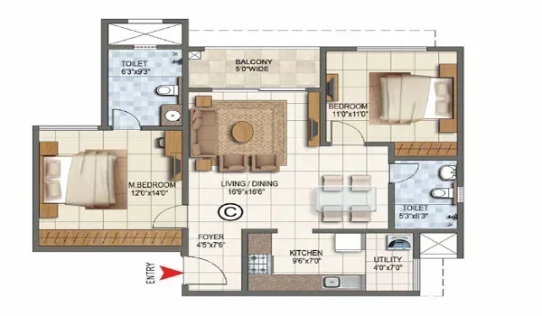
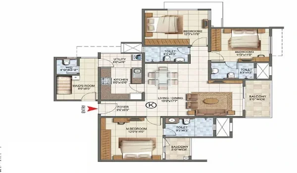
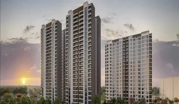
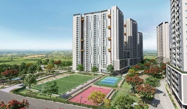
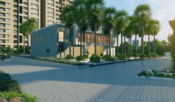
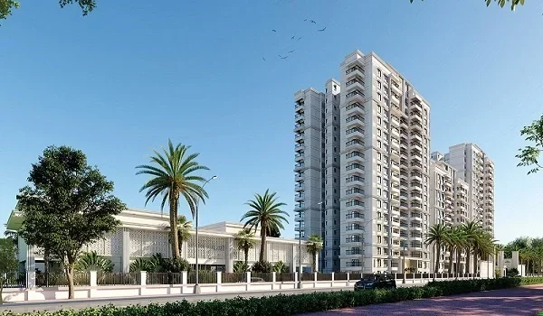
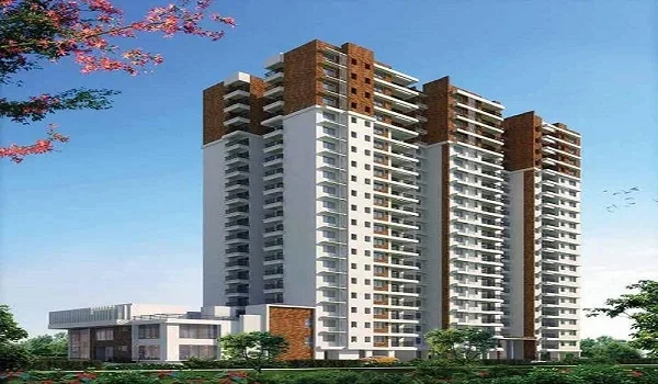
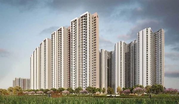
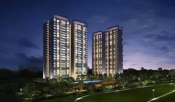
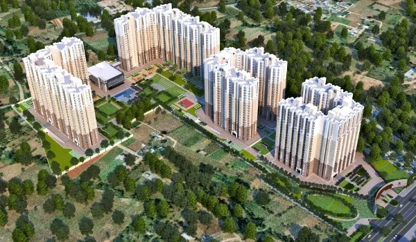
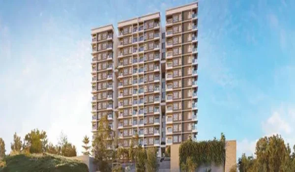
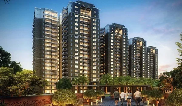
Prestige Grove Park, a pre-launch Prestige Group project, sits right next to Sanjay Gandhi National Park in Borivali. It plans about 1,500 homes across six towers, with possession targeted for December 2031. Its location gives residents both forest views and quick access to the Western Express Highway.

FAQs


1. Is Borivali in the western suburbs of Mumbai?

Yes, Borivali lies in the northern part of Mumbai's western suburbs. It sits between Kandivali and Dahisar on the Western Railway.

2. Is Borivali in north Mumbai?

Yes, Borivali is in north-west Mumbai, close to the city's northern limit. Only Dahisar lies further north within the city on the western side.

3. Which district is Borivali in?

Borivali falls under the Mumbai Suburban district, and BMC runs its civic services.

4. What is the PIN code of Borivali?

Borivali West uses 400091 and 400092, while Borivali East uses 400066. The Mandapeshwar area uses its own code, 400103.

5. How far is Borivali from Andheri?

Borivali sits about 17 km from Andheri, and a local train covers it in about 20 minutes.

6. What lies to the east of Borivali?

Sanjay Gandhi National Park lies to the east of Borivali. It covers about 103.8 sq km of forest, lakes and hills. Borivali holds a special place on Mumbai's map, at the northern edge of the western suburbs. Its mix of rail access, forest and coast sets it apart from its neighbours. For anyone planning to live or invest in north Mumbai, Borivali makes a natural starting point.

Prestige Grove Park Blog


Enquiry
Enquire Now